
::BASEMAP
Dashboards: browser · CLI · servers
Community extension: anofox_render
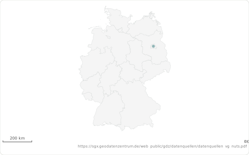
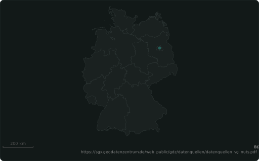
A backdrop under a map: WKT, or a built-in layer ‘world’, ‘de-states’, ‘de-districts’.
Also spelled: ::MAPBASE, ::BACKDROP
The data it needs
Section titled “The data it needs”A constant on a map panel: a built-in layer ('world', 'de-states', 'de-districts') or your own WKT, drawn under the features.
SELECT 52.52 ::LAT, 13.40 ::LON, 'Berlin' ::LABEL, 'de-states' ::BASEMAP;In an example
Section titled “In an example”From Which chart fits which question? — open it in the builder ↗:
SELECT ST_Y(geom) ::LAT, ST_X(geom) ::LON, mag AS "Magnitude" ::BARCHART, place ::LABEL, 0.6 ::ALPHA, 'world' ::BASEMAP, 'USGS earthquakes (M≥2.5, past 30 days) — colour = magnitude'::TITLEFROM ST_Read('quakes.geojson') WHERE mag IS NOT NULLAlso in: Where do our deliveries and customers cluster, and which regions are underserved? · Where does our supply chain amplify demand, and what would stabilise it? · Which van serves which stop tomorrow?